GNSS Coordinate Systems
If you have purchased FieldLink Advanced and the GNSS module you can select the coordinate system and zone for your projects to ensure that collected and staked data is in the correct reference coordinate system.
You can select the coordinate system and zone when you create the project.
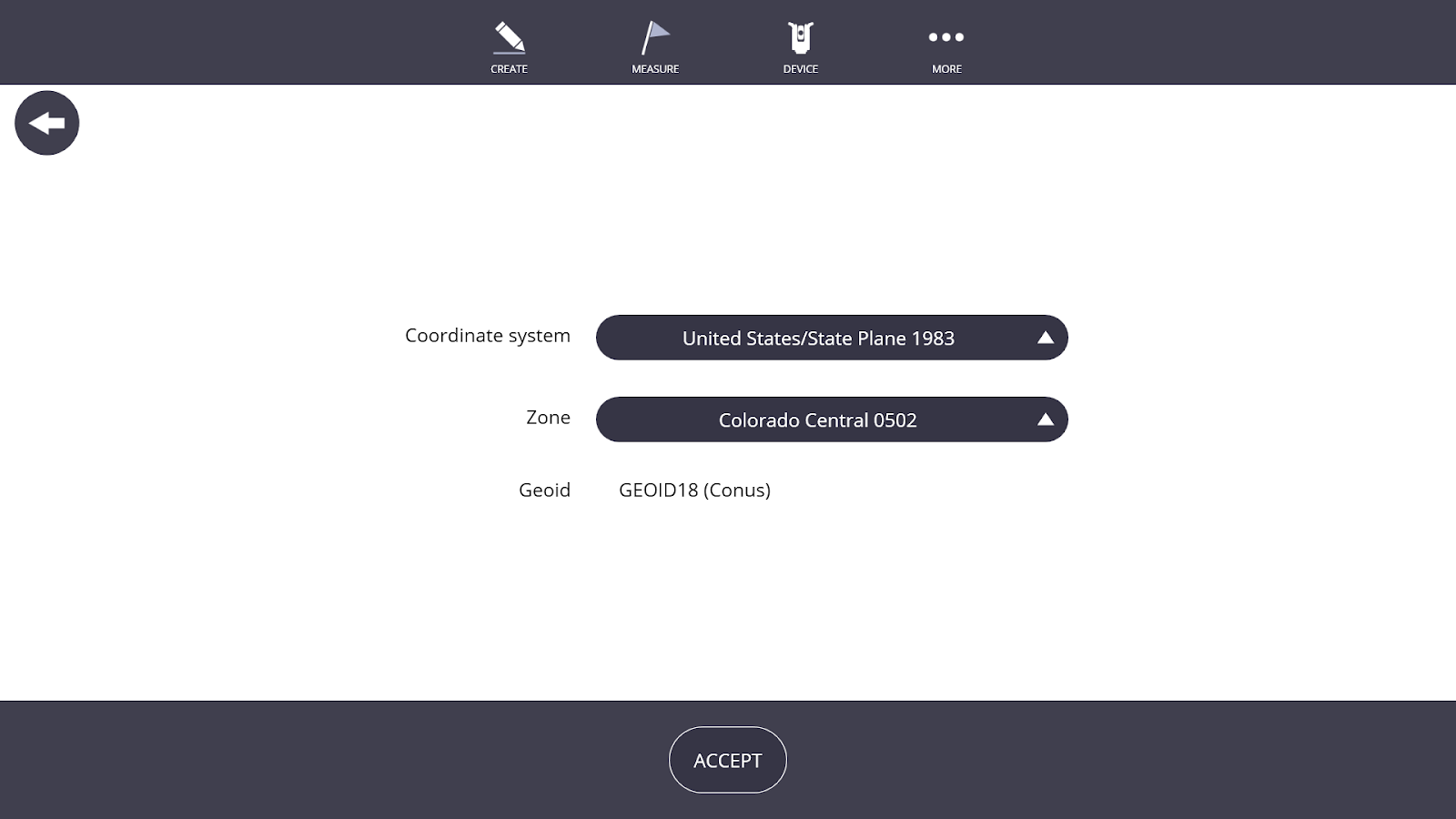
If required, you can change the coordinate system and zone once a project is created by going to More > Projects > Manage and selecting the pencil icon next to the project name.
