Trimble MPS566 / MPS566-2 Help
Welcome to the Trimble® MPS566 / MPS566-2 Modular GNSS Heading Receiver Help.
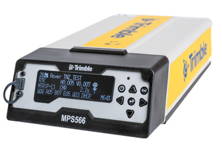
The MPS566 and MPS566-2 (also known as Model 2) receivers are a high accuracy, dual-antenna modular GNSS heading receiver with advanced connectivity. The receivers deliver highly accurate positions and orientation in challenging GNSS conditions, using a wide variety of GNSS correction sources. Using constellation-agnostic Trimble ProPoint® technology, the receiver performs in even the most challenging GNSS conditions.
This ‘all-in-one’ unit incorporates the latest industry-leading positioning technology from Trimble along with a full suite of modern communications capabilities, in a rugged, compact package that can withstand harsh work environments and be deployed anywhere. With a modular form factor, the receivers are flexible and can be used as an integrated position, heading, and communication receiver on machines, vessels, or vehicles. The receivers allow two GNSS antennas to be connected for precise heading without needing a secondary GNSS receiver.
The MPS566-2 receiver (available from end of May 2025 in select countries) has the following additional features:
-
Internal UHF radio:
-
Dual-band (selectable):
-
410 to 475 MHz: Worldwide depending on the local licensing (P/N MAR‑MPS566‑2‑50).
-
900 MHz: Fully integrated, internal 900 MHz radio; Tx/Rx 1 W transmit power (P/N MAR‑MPS566‑2‑50).
-
-
450 MHz only (ETSI compliant for S. Africa, Thailand, and UAE):
-
410 to 473 MHz (P/N MAR-MPS566-2-40).
-
-
No UHF (P/N MAR-MPS566-2-00).
-
-
Worldwide 4G LTE modem with extended global carrier support.
For more information, see Standard features.
The receivers are ideal for the following site development and construction applications:
-
Marine construction — The receiver provides precise position and heading directly into Trimble Marine Construction Software. Achieve accurate, efficient dredging using backhoe excavator, cutter suction dredge, wire crane and trailing suction hopper dredges and increase productivity during block placement applications. Use the receiver in your Trimble Marine Construction system to support a range of marine construction applications such as capital and maintenance dredging, aggregate dredging, block and structure placement, barge monitoring and anchor handling, beach replenishment, pre- and post-construction as-built surveying.
-
Drilling and piling — The receiver is fully compatible with the Trimble Groundworks Machine Control System. Obtain precise locations for more accurate drilling and piling even when multipath interference is present. Achieve the accuracy and precision required for renewable energy construction like solar farms, where precision is extremely important.
The MPS566 / MPS566-2 is the preferred dual-antenna GNSS solution for the Groundworks and Trimble Marine Construction systems.
NOTE – The label on your receiver shows if you have an MPS566 or MPS566-2. P/N 118555‑xx is an MPS566. P/N 218555‑xx is an MPS566-2. When you log into the web interface, it shows the model of the receiver in the top-right corner of the screen.
