Map Options: Measure tab
Use the Measure tab to filter the different measured data that is being displayed. This is the default tab that is selected every time the Map Options icon is tapped:
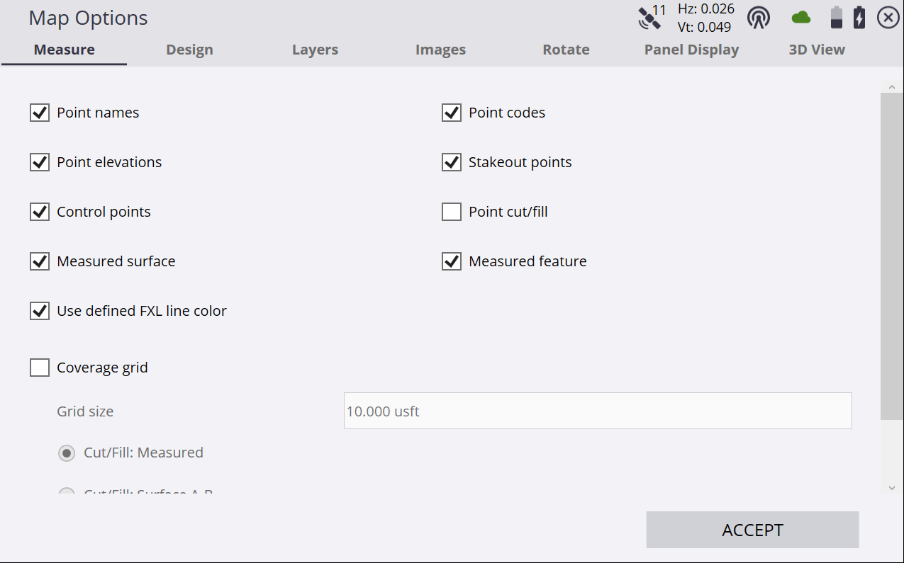
|
Select this option… |
to display… |
|---|---|
|
Point names |
the point names of every point on the map view. |
|
Point elevations |
the point elevations of every point on the map view. |
|
Control points |
control points on the map view. |
|
Measured surface |
measurements that were recorded as a surface. |
| Use defined FXL color | display FXL measured lines in the color associated with the FXL code. Introduced v1.75. |
|
Coverage grid |
a coverage grid map that shows cut/fill/in tolerance values as shades of red/blue/green respectively between a measured point and the selected design surface, between two design surfaces, or elevation changes as different shades of blue depending on the setting of the radio button. The Coverage grid function has three options:
|
|
Point codes |
the point codes of every point on the map view. |
|
Point cut/fill |
the cut/fill information for every point on the map view. |
|
Stakeout points |
stakeout points on the map view. |
|
Measured feature |
measurements that were recorded as a site feature. |
