Measuring a new control point or remeasuring a control point with a total station
Total stations generally require more control points around the project than GNSS because of their line-of-sight dependence; therefore, you may need to set and measure additional control points throughout the site.
The measure mode (Standing, Averaging, DR, DR Target, DR Averaging) selected before entering the Measure Control Point command is the mode that is used to measure the control point. Ensure the correct mode is selected before entering the measure control point command. For the highest accuracies, it is recommended that you use Averaging mode when using a prism on a bipod, or a backsight prism on a tripod. If the control point is to be measured refelectorlessly, DR Averaging is the recommended mode.
-
From the Home menu, tap Measure / Measure Control Point.
-
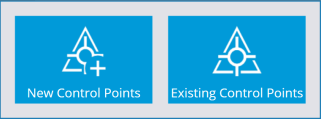
Select New Control Points from the menu to measure a new control point, or Existing Control Points to remeasure existing control points to check their position.
-
Create the control point location using a stake, a hub, or a road nail as required on the ground and then mark the stake with the name for the control point, for example, CP3.
-
Set up the prism rod on the point and hold it steady using a bipod. The software displays the current Prism position on the map.
-
When you are ready to take the measurement, tap the Measure icon.
When each control point is measured, the software stores the control point data position in the control point (Control.field.csv) file for the site, and records the measurement data into the record and report files for the work order.
