Measure menu

The software always initially starts in Measurement mode. Use this option to switch between stakeout and measure modes.
From the Home menu, tap Measure.
In this menu, you can accomplish all site measurement functions including:
-
Grade checking
-
Material thickness checking
-
Topographic measurements to create surface models (for example, volume computations)
-
Site point and line feature measurements to record the location of non-surface features
-
Real-time cut/fill information against a selected design model
-
Stockpile Scanning if a total station is connected
-
Point cloud laser scanning if connected to an SX10 or SX12 scanning total station
Before you use this menu, you must connect and set up your GNSS or total station in the Home menu. If you have not yet done a system setup when you select an option in this menu, the software automatically prompts you to go through the station establishment process for either a total station or the rover setup for GNSS.
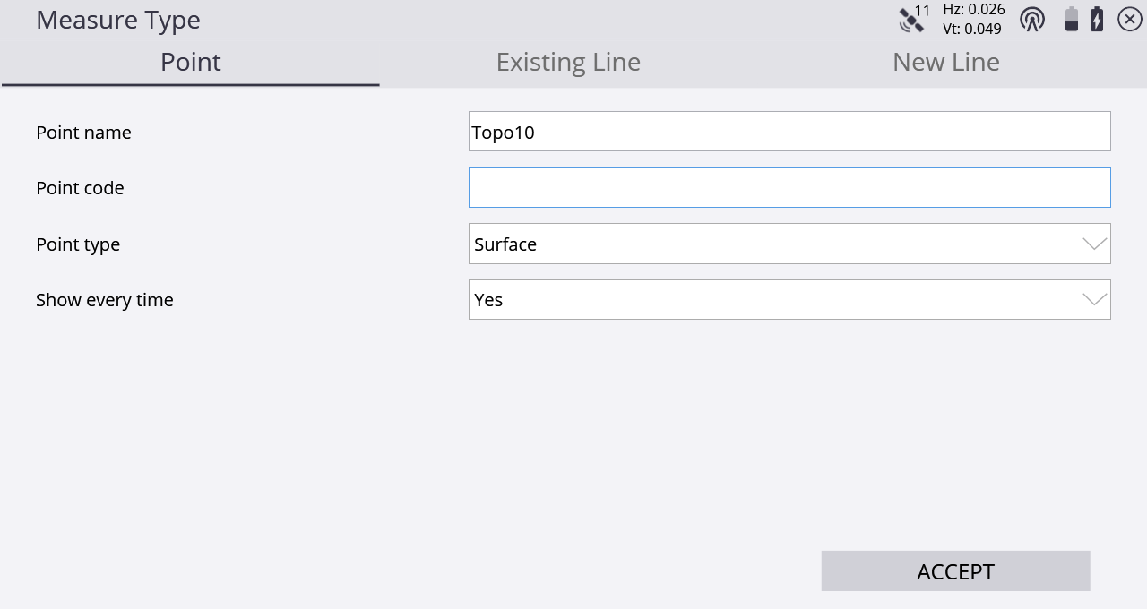
In the Point type of the Measure Type tab, you can define if measured points are to be stored as part of a Digital Terrain Model (DTM) surface or only as a site feature and not included in any surfaces. This menu can also be accessed from the main screen by tapping the Measure Type button:
![]()
Select Surface or Feature from the Point type field to choose if the point or line will be included in a surface or just stored as a feature. When the Advanced Measurement module is installed, the measurement type is controlled by the settings in the FXL file Feature Code Library for each feature code, if a feature code is currently selected.
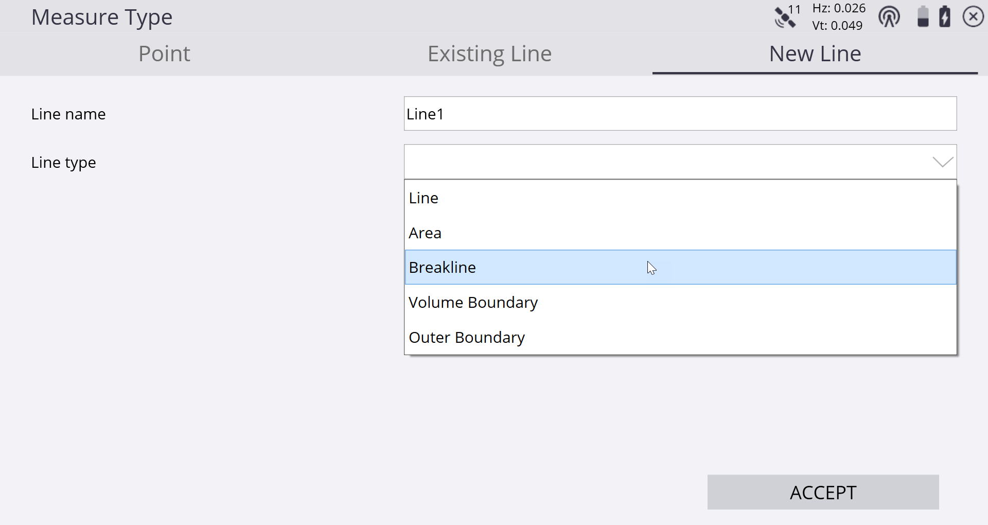
Lines are measured by selecting one of the Line tabs: New Line or Existing Line.
Selecting Existing Line enables the selection of an existing line from a table and the continuation of measuring that line from the last measured end point along it.
Selecting New Line requires entering a Line Name and choosing what kind of line type it is. Line types that are included in the DTM surface measurement are Breaklines, Volume Boundaries, and Outer Boundaries. Lines and areas are not included in the DTM surface measurement. Areas, volume boundaries, and outer boundaries will be automatically closed to form a closed polygon when the measurement is complete and either a new line or point is selected to be measured.