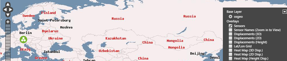
Map base layers
You can use data from map providers or you can add your own image to provide a base layer for the map.
Use the Base Layer settings at the top right of the map area to show and hide available base layers.
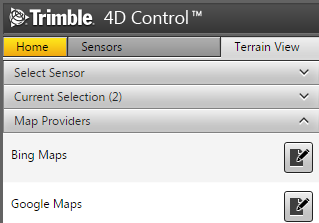
Map Providers
Trimble 4D Control Web has some pre-configured free map providers, however the free map providers may not offer sufficient content. In addition to the free map providers you can utilize the map providers Bing Maps or Google Maps. By selecting the Map Providers panel you can configure your license for these map providers. The interface will provide you with instructions on how to acquire a key for each of these.
WMS Layers
A Web Map Service (WMS) is a standard protocol for serving georeferenced map images which a map server generates using data from a GIS database. In Trimble 4D Control you can use WMS Layers on the map instead of using Map Providers.
In the Map area select WMS Layers and then enter the WMS map service name, location and the layers you require. Click Save.
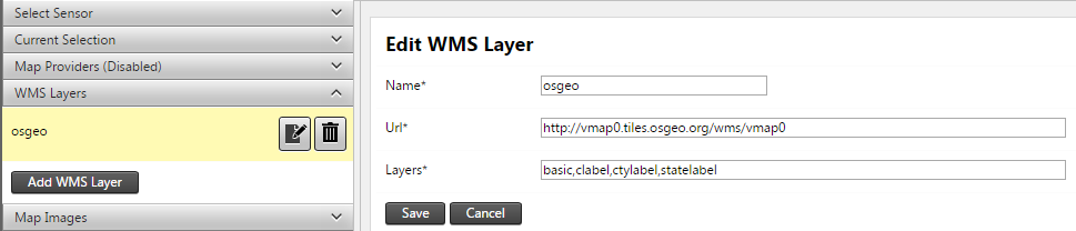
The WMS Layer is now available as a Base Layer on the Map.
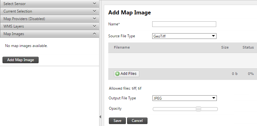
Map Images
You can add your own images as a base layer for the map. Select the Map Images bar to start adding a map image. You can add GeoTiff images or other images. If your image is not geo-referenced, you will be required to specify a map extent onto which your image must be projected.