Roads
New features
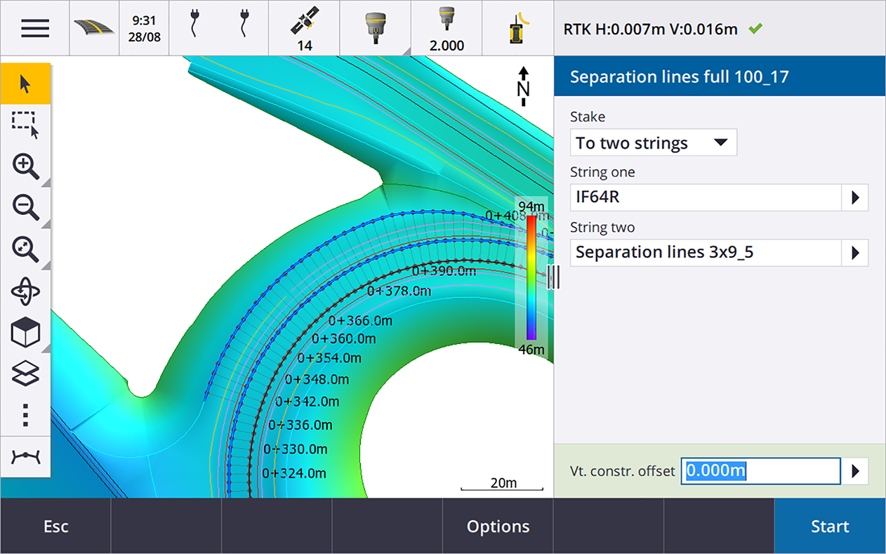
Strings and surfaces stakeout workflow
The new Strings and surfaces workflow in Trimble Access Roads enables you to stake strings as linear objects similar to roads, typically when you do not have a road design file. For example, you can stake traffic islands or curbs, or the cut and fill to any structure that is defined by two strings, such as an embankment or construction earthworks.
Strings can be lines, arcs or polylines that are keyed in to the job or they can be selected from any linked files that contain linework, including DXF, IFC, or 12da files.
Select a string as the primary stationing string and then stake one or two strings with stationing relative to the primary stationing string. When staking one string you can also select a surface. When staking two strings a surface is created between the strings. Additional surfaces can also be selected.
For more information, see the topic Road workflows in the Trimble Access Help.
New stake deltas
In Trimble Access version 2023.10 we have added the following new stake deltas:
-
Design slope
For stake methods To a string, Station on string and To the nearest string, the Design slope delta displays the slope of the template element that precedes the string that you have selected to stake.
For stake methods To the road and Two strings, the Design slope delta displays the slope of the template element directly below your current position.
-
Slope
The Slope delta displays the slope of the template element directly below your current position. The Slope delta is useful when the stake method is To a string or Station on string and your position is off the template element that precedes the string that you have selected to stake.
-
Surface slope
The Surface slope delta is primarily useful when staking an alignment-only road with a DTM. The Surface slope delta displays the slope of the surface at right angles to the horizontal alignment and directly below your current position.
Enhancements
One string and Two strings stakeout methods now available from Strings and surfaces menu
As a consequence of the new Strings and surfaces workflow available in Trimble Access Roads 2023.10, the To the string and Two strings stakeout methods are now available from the Strings and surfaces menu. The Strings and surfaces methods are also available when you tap a string in the map when working in the Roads app.
To stake a line, arc or polyline, from the Roads map tap and hold in the map and select more than two entities to stake, or switch to General Survey.
Resolved issues
-
Precise elevation: The Precise elevation function in Trimble Access Roads combines the GNSS horizontal position with the elevation from a conventional setup. In Trimble Access version 2022.00 through 2023.01, only the GNSS position was being stored in the job. Trimble Access 2023.10 stores the GNSS, conventional, and combined records, as in earlier versions.
-
Road stakeout with IMU: We have fixed an issue when staking a road where the cut/fill stored in the job did not always equate to the design elevation minus the as‑staked elevation. This could happen on rare occasions when measuring IMU tilt compensated points and a new position was received between the time the cut/fill was calculated and the point was stored to the job. Differences of up to 3mm (1/100th ft) were possible.
-
Stakeout offset: We have fixed an issue when manually editing the station when staking a road. The stake offset value now calculates and updates correctly.
-
Nearest string: We have fixed an issue where after selecting the road and the Nearest string stake method, the Start button did not appear in the lower right of the screen, and you needed to select a different method and then reselect Nearest string before the Start button appeared.
-
Available stations: We have fixed these issues after selecting the available stations when staking out:
-
During stakeout the software now shows all relevant station types as selected in the Available stations screen.
-
The software now updates station details as expected for all stations.
-
- Staking a side slope: We have fixed an issue when attempting to stake a side slope using the To the road or To the string method where if there was a gap in the string the software reported the cross section view was unavailable and the current position was beyond the start or end of the string.
- Side slope showing incorrect values in Review: We have fixed an issue where the side slope incorrectly displayed both a cut and a fill slope when the side slope string was defined only by a cut slope or a fill slope (the other slope value was null). This issue occurred only when reviewing the road and selecting a cut slope immediately after having reviewed the fill slope. Subsequent selections in the Review screen incorrectly showed both slope values.
-
Construction offsets - RXL and LandXML roads: We have fixed an issue where the station construction offset value was not being remembered after selecting a side slope position.
-
Review point: When reviewing a point with the coordinate display set to station and offset relative to a road where the road consisted only of a horizontal and vertical alignment, the V.dist value to the alignment is now displayed. Previously it displayed null.
-
GENIO roads: When selecting a different string in the cross section view the graphical display now correctly updates to show the newly selected string.
-
Application errors: We have fixed several issues that caused occasional application errors when using or closing the software. In particular:
-
When the stake method was To the road and a vertical construction offset was applied when the template had only one element.
-
When reviewing or staking a GENIO road when the GENIO file did not include a 6D string or when selecting a second GENIO road to display in the map.
-
When staking a GENIO road after selecting a string to stake from the map or from the list, or after tapping Start when staking using the Station on string method with a secondary road selected.
-
When staking a GENIO road when another road is also displayed, selecting first a 6D string in the stakeout selection screen and then selecting a 5D string.
-
