Roads
Enhancements
Easy staking of additional points during road stakeout
During road stakeout you can now select additional points from the map to stake, whether staking from a road design file or from strings and surfaces.
Use the Additional points method to stake design features that are not part of the road design file, such as key positions for a drainage system, lamp posts, or road signs, without having to leave the Roads app and switch to General Survey. Additional points provide station and offset details from the primary alignment or string.
During stake out, stake additional points as needed. Tap any point in the job or tap a point in any kind of linked file, including DXF, BIM, or CSV.
For more information, see the topic Stake additional points in the Trimble Access Help.
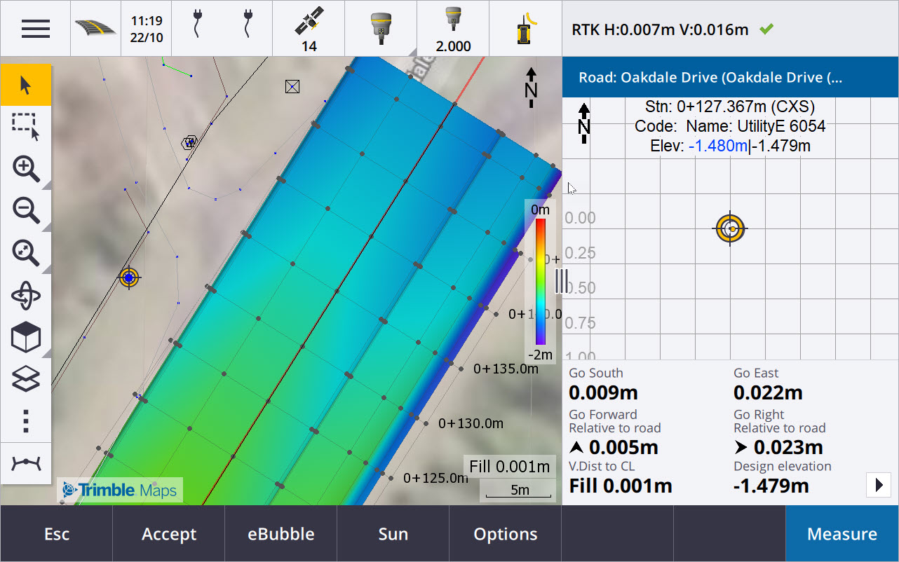
New distance to surface at target deltas
We have added two new road deltas:
-
V.Dist to surface at target
-
Perp. Dist to surface at target
These new deltas give the vertical or perpendicular distance to the surface at the target location. For example, the V.Dist to surface at target delta when staking a station on a string gives the vertical distance to the surface under the station, or when staking a string it gives the vertical distance to the surface under the string.
To distinguish these deltas from the existing V. Dist surface and Perp. Dist surface deltas, we have renamed them to V.Dist to surface at current position and Perp. Dist to surface at current position.
Road drive through now supported on Android
When using the Roads app on a controller running Android, you can now view an automated 3D drive through of the road definition for a road design file. Previously this feature was available only when using a controller running Windows. To start drive through, tap the alignment in the map, tap Review and from the plan view tap 3D drive.
Performance improvements
We have improved the performance of Trimble Access Roads when using:
-
Any road files during stakeout: Users will see fewer map loading messages and better responsiveness.
-
LandXML files: Excessive stations/cross sections present in some design files has been removed on straight lines, initial loading of the road in the map has been improved and excessive reloading of the road has been reduced.
Resolved issues
-
Negative chainage on curve: We have fixed an issue when staking to the road, where if the position being staked was located on an arc exceeding 180 degrees, then the station value became negative and the V.dist to CL value showed ?.
-
Additional points: We have fixed several issues with additional points, including:
-
Construction offsets for additional points are now drawn correctly in the cross section view. Previously, they were drawn incorrectly (not starting at the additional point).
-
When using the Select softkey to view the Additional points list, tapping Esc to leave the list without making a selection would display incorrect horizontal construction offset graphics in the map.
-
Where the cross section view was available when reviewing additional points on a 2D alignment. The cross section view is now only available when alignments are 3D.
-
Selected additional points in an RXL road file were incorrectly highlighted in the cross section view.
-
-
Horizontal construction offset: We have fixed these issues when using a horizontal construction offset:
-
When changing the design elevation in the navigation screen, the horizontal construction offset now displays correctly in the cross section view.
-
When staking an additional point or a point on an additional string, the horizontal construction offset is no longer displayed in the plan view.
-
-
Off-road or off-string deltas: When staking To the road or To the string where the current position is off the road or string, the software no longer shows navigation deltas as these cannot be calculated. Previously the software showed deltas that were incorrectly calculated to the end station position.
-
Staking a station on a string: When staking a station on a string the cross section of the additional surface is now displayed at the station location, instead of at your current location.
-
Station out of range error: The software no longer shows a station out of range error when you stake a station on a string where the primary string is an arc.
-
Staking to two strings: When staking To two strings using the primary string as one of the strings, both string names are now displayed in the navigation screen.
-
Staking to the string: You can no longer select the primary string when staking to the string, as this method is for staking other strings. To stake to the primary string, use the To the primary string method.
-
Select reference alignment: We have fixed an issue where the Select reference alignment item was not available from the tap and hold menu when staking To the primary string.
-
Staking to an alignment: We have fixed an issue when staking to an alignment, where if there was another alignment with the same name visible in the Layer manager, the stake deltas were reported to the wrong alignment.
-
Cross section view incorrectly showing 2D points: We have fixed an issue where 2D points (points with no elevation) were able to be viewed in the cross section view. Only 3D points can be viewed in the cross section view.
-
Edited design elevation: When exiting stakeout, the edited design elevation is now discarded and the original design elevation is used next time.
-
Design station: We've resolved an issue where the Design station display during alignment stakeout was null instead of showing the selected design station.
-
Application errors: We have fixed several issues that caused occasional application errors when using or closing the software. In particular:
-
When attempting to view a 12da file that contains an alignment that starts with an exit transition curve instead of the expected entry transition curve, the software now warns why the alignment cannot be displayed. The rest of the file can be viewed and used. Previously the software would automatically close when encountering this error.
-
When attempting to view a 12da file on a controller running Android where the file includes lines that contain only vertical stationing with no horizontal stationing.
-
When viewing an RXL file in Point manager and changing the display to Station and offset.
-
When staking To two strings where one or both strings folded back onto itself.
-
When attempting to stake a station on an alignment when the RXL road contains a side slope element in the template.
-
When selecting multiple entities in a LandXML file and then tapping the Define softkey.
-
When reviewing a LandXML file where multiple strings have identical names at the same station.
-
When attempting to review the road definition of a road design file using the 3D drive feature when Auxiliary GPS was enabled.
-
