Tunnels
Enhancements
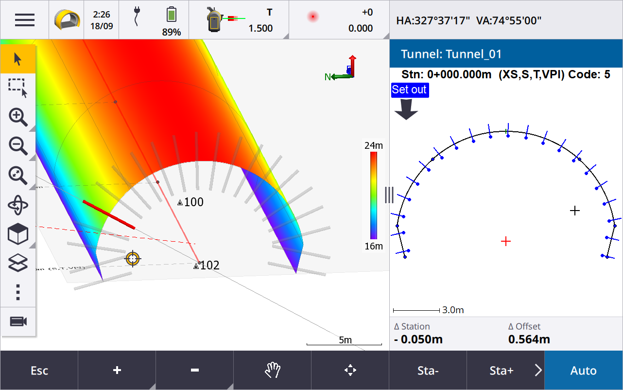
Set out positions shown in map during setout
All set out position types are now shown in the map as 3D objects. Previously, set out positions were shown only in the cross section view. When multiple set out positions are selected, the current position being set out is shown as a red 3D object, with a thin line projecting past the ends of the 3D object. Other selected positions are shown as a gray 3D object.
Displaying these as 3D objects in the map provides a better 3D visual representation of where set out positions are located, and makes it easier to confirm correct positioning.
Scanning and surface inspection now available within the Tunnels app
When connected to a Trimble SX10 or SX12 scanning total station, you can now perform a scan or a surface inspection from the Survey menu of the Tunnels app. Previously, scanning and surface inspection were available only by switching to the General Survey app.
NOTE – To scan a tunnel using a Trimble VX Series or S Series instrument that has Trimble VISION technology, you will need to switch to the General Survey app. Surface inspections cannot be performed on scans completed using Trimble VX Series or S Series instrument.
Tunnel drive through now supported on Android
When using the Tunnels app on a controller running Android, you can now view an automated 3D drive through of the tunnel definition. Previously this feature was available only when using a controller running Windows. To start drive through, tap the tunnel in the map, tap Review and from the plan view tap 3D drive.
Resolved issues
-
Application errors: We have fixed several issues that caused occasional application errors when using or closing the software. In particular:
-
When attempting to review the tunnel definition using the 3D drive feature when Auxiliary GPS was enabled.
-
