Work with 3D Map Terrain
Adjust the Transparency and Background Elevation of the Terrain Model
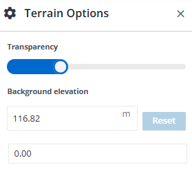
This feature helps when terrain data has spikes rising out of the background map. By adjusting the Background Elevation, the background map is raised to meet the surface, making terrain easier to visualize.
-
Click the
 More icon next to a terrain model and select Options.
 -
In the Options pane on the right, adjust the Transparency using the slider.
-
Enter a new Base height. The height adjusts immediately.
-
If needed, click Reset to return the terrain to its original height.
Change the Date and Time Range for a Terrain Model
-
Click the
More icon next to a terrain model and select Edit. -
In the Terrain Filters pane on the right, click the arrow next to Date & Time Range.
-
Modify the values and click Apply.
Exclude Machine Data from Terrain
If you do not exclude machine data, your terrain might look irregular, with unexpectedly elevated 3D data.
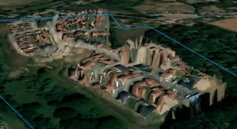
Terrain with machine data
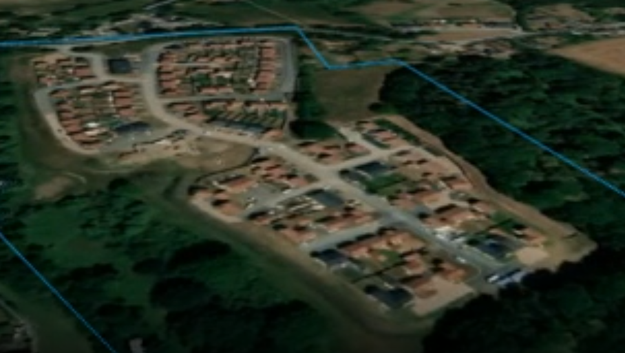
3D Map terrain with machine data excluded
-
Click tthe
More icon next to a terrain model and select Edit. -
In the Terrain Filters pane on the right, expand the Machines section.
-
Check the Exclude all machine data box.
-
Click Apply.
