Project Boundary from a File (.dxf)
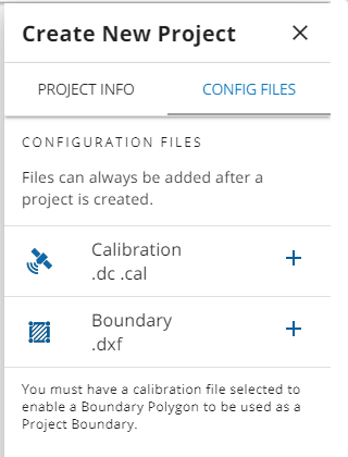
Project boundaries can be imported as a .dxf file when you create a project or edit its .dxf file in the CONFIG FILES tab.
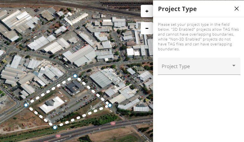
The .dxf file must contain one closed polygon to create a valid project boundary. The calibration/coordinate system file must be uploaded before selecting the boundary .dxf file. In the Create/Edit Project > BOUNDARY step, the boundary contained within the .dxf is displayed on the Map screen before you finish creating the project.
Once selected in the Create or Edit Project > CONFIG FIles step, the polygon in the .dxf file is displayed as the project boundary in the Project Type step. No further selections are needed once you have imported a project boundary.
NOTE: A boundary from a .dxf file cannot be edited once it is imported into WorksOS as the project boundary. To change a project boundary from a .dxf, you must correct the .dxf file in the source program or create a new one and upload it in the CONFIG FILES step of create and edit project workflows.