3D View
The 3D View enables you to visualize the whole scan data in free navigation. In this view, each station has a point cloud representation, with a marker (triangle) and a name (Label).
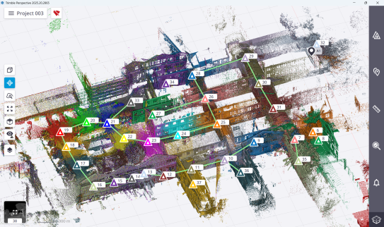
In the view, you can:
-
Zoom in (or zoom out) the whole scan data by stretching or pinching with two fingers.
-
Rotate around a tapped position by sliding with one finger.
-
Pan by sliding with two fingers.
-
Display the scanning result(s) in the
 Parallel projection mode or in the
  Perspective projection mode.
 -
Use the same options as in the
 Map View. See Map View.
