Custom views
A custom view allows sensors to be placed onto a picture so that you can view the sensors in context.
The background image you select for the custom view can be a schematic plan of a building, site or structure (such as a blueprint), or it can be a photo of the location of the sensor or of the sensor itself.
From the custom view you can also view data for each sensor in the form of a chart or a scatter plot.
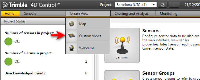
To view the Custom Views page, select Custom Views from the Terrain View menu, or click Custom Views on the Home page.
To add a custom view, see Add a custom view.
