From Model
Use the Create From Model tool to create points from a 2D plan, 3D model or linework created in TFL, using the predefined snap options after importing the model (see Create a TFLX File).
NOTE – For FieldLink version 4.x, you can layout directly from imported or created linework by tapping on the linework, without creating any points on the line. This functionality may greatly reduce the need to create many points if you are staking to linework. You must still tap the stake icon to store the point for future reference, QA and documentation processes.
- Tap the Create icon
 and then tap From Model.
 - Tap the Layer icon
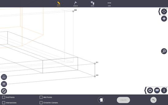
 and then tap any of the linework you would like to isolate. The selected layer is highlighted in the map view and layer list so that you can tap the None icon, then check next to the single or multiple layers you want to create points upon.
 - Select the required snaps by tapping in the open selection box. Current options are End Point, Mid Point, Circle/Arc Center, Intersection, Center From 3 Points or Apparent Intersections.
NOTE – If using Apparent Intersections Drag and Current View options are disabled.

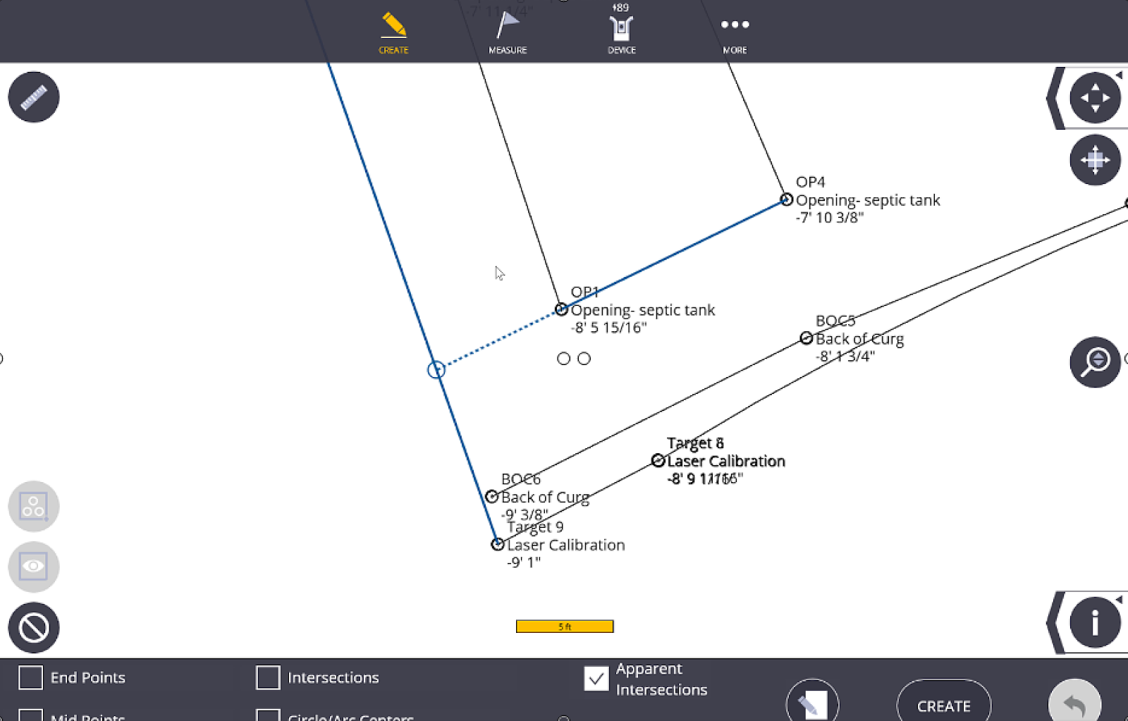
- Tap the Input Form icon
 . Input the Point Name, Description, and Layer for the first point. Tap the Input Form icon again to view the points on the map view before creation.
 - Tap on each location you would like to create a point using the selected snap, or use the Map Tools icons including Selection Box or Current View tools to create multiple points quickly.
- Tap the Clear All icon to clear the selected points if you made any mistakes in your selections.
- The number of points to be created is shown under the Create button. Tap Create to finalize the points.
- To undo the creation, tap the Undo Arrow.
- Once points are created, you can delete or edit the points within the Points Workslate (See Pointwork).
NOTE – If you are creating points with a 3D model, you may end up with multiple points on top of each other in a 2D view (e.g. if you are looking at a column structure from above you will create 2 points instead of one for upper and lower corners).
TIP – Use letters, numbering, descriptions and layers when creating points to help filter or sort points for easy viewing during layout, or exporting/importing field data into or from the office.
