Understanding Alignments
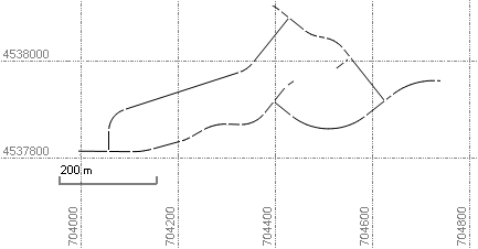
An alignment defines a linear feature, such as a road centerline. Alignments consist of horizontal geometry (a path in a horizontal plane) and optional vertical geometry (a path in a vertical plane). Alignments can also include station equations.

You can import existing alignments from LandXML or GENIO string files, or you can create them either by specifying their horizontal and vertical components or by converting them from vertices, lines, and polylines in your project.
You can create horizontal alignments using lines/tangents, arcs, and clothoid spirals. You can create vertical alignments with lines (constant slope), arcs, and parabolas. Each vertical alignment is associated with a horizontal alignment, and there can be multiple vertical alignments for each horizontal alignment. The values you can enter depend on the alignment settings for the project.
You can also specify station equation values for the alignment, and you can create a superelevation. The superelevation can be applied to a corridor template to ensure a highway is banked appropriately through a curve (to ensure safety).
Often, the goal in creating an alignment is to create a digital file of the design that you can upload to a field device for staking.