Elevate Contours by Label
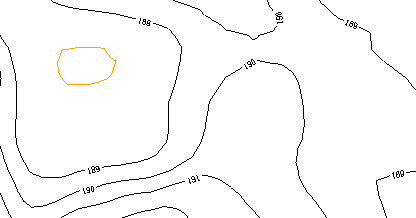
Use in-line elevation labels to quickly elevate 2D lines that represent topographic contours. The elevation is derived from the text of the label, not the elevation of the label. Lines with existing elevations are also elevated based on the label text.
Note: Only lines whose end points fall within ½ the length of the label's height (from the limits of the text box) will be elevated. If the text is small, it is unlikely that the line's end points will be within the tolerance to be elevated.
Note: The lines that can be elevated using this command are simply polylines representing contours, not the contour objects created on surfaces using the Create Contours command.
To easily identify which lines have been elevated, set your zero-elevation data to an alternate color in the View Filter Manager and open a 3D View alongside the Plan View before using this command.
Tip: If any of the 2D lines are not elevated after using this command, use the Elevate Contours by Crossing command to elevate them.
Prerequisites:
- License for a module. To see which modules license this command, see Licensed Features.
- Contour lines (polylines) with in-line elevation labels
To elevate contours using their elevation labels:
- Select View Filter Manager in Views > View.
- Click the Display Options tab at the bottom of the manager, and select Display in alternate color.
- Choose a new color in the Alternate color list.
- Select View > New 3D View. Then right-click the 3D View tab and select New...Tab Group so you can see both the Plan View and 3D View at the same time.
- Select Elevate Contours by Label in Data Prep > Elevate.
The Elevate Contours by Label command pane displays.
- Select 2D lines that have in-line elevations labels in a graphic view, or click Options and choose a selection method from the context menu.
Tip: This may be easiest to do by using Select by Layer, and then clicking on one of the contour lines and one of the elevation labels to specify their layers in the Select by Layer command pane.
Note: If each contour line is composed of multiple individual lines, you should run the Project Cleanup command to join them before using this command. - If the contour lines stop on either side of the elevation label, check the Join contours across labels box to join the gaps in the contour lines, through the labels. Doing so is necessary to ensure that subsequent use of the Elevate Contours by Crossing command does not fail as a result of drawing the crossing line through such a gap in the labeled index contour lines. This practice additionally helps to ensure that each contour label will be within the needed proximity of its associated contour line to be properly used when elevating the line.
- Click Apply. Each of the contour lines is elevated based on the elevation of its in-line label.
- When you are done, click Close.
