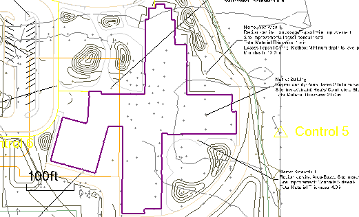
Create a Boundary from a Site Improvement
Use the Create Boundary by Site Improvement option within the Define Areas of Interest command to create a boundary based on the coverage area of an existing area-based site improvement or subgrade adjustment. The site regions resulting from generic area-based site improvements, landscaping/topsoil site improvements and simple subgrade adjustments are shaded when you run this command so you can see their area of coverage.
Prerequisites:
- Licensed module; See the Subscription Plans page. For a license matrix by command, see the License page in the TBC Community. Also see View and manage licensed features.
- Area-based site improvement or subgrade adjustment regions
To access the command:
- Select Create Boundary by Site Improvement from within the Define Areas of Interest command.
To create a boundary from an area-based site improvement:
- In the Takeoff Category group, select the category that contains the layers you used to form area-based site improvements or subgrade adjustments. Valid site improvement regions are shaded.
Note: Boundaries can be created from area-based site improvements or subgrade adjustments that have been assigned using either method within the Categorize Takeoff Layers command. For details on the differences between the two methods, see Understanding Area-based Site Improvements.
- In the Create Boundary group, select the layer on which you want the boundary to reside on in the Layer list, or select <<New Layer>> to create a new layer for it.
- If you want to planimetrically offset the AOI's boundary from the site improvement's boundary, select either the Interior or Exterior option. Then click in the distance box and specify the desired offset value, or pick a point on the boundary and then a point away from the boundary (to specify the distance from the site improvement boundary to the offset boundary).
- Click in the Pick a shaded site improvement box and pick a point within the shaded site improvement's area of coverage. The site improvement from which the AOI will be derived is listed below the Location box.
- Click Apply. The boundary is created coincident with (or offset from, if applicable) the site improvement.
- Click Close.
Options:
- Takeoff category - Select the category that includes the area-based site improvements or subgrade adjustments from which you want to create boundaries. The site improvements in that category are shaded in the Plan View.
- Pick a shaded site improvement - In this coordinate control, pick a coordinate within the shaded site improvement or subgrade adjustment site region from which you want to create a boundary.
Dependencies:
- None. Once a boundary has been created from an area-based site improvement, either can be modified or deleted without affecting the other.
