Maps
The Maps area shows sensors as icons on geographic terrain from standard map providers or from your own geo-referenced terrain photos.
The following section describes how Maps work when a project is configured in a public coordinate system. If you are using a local coordinate system, please refer to the section When using a local coordinate system.
To view the Maps screen, from the Terrain View menu select Maps. Alternatively, click the map icon on the Home page.
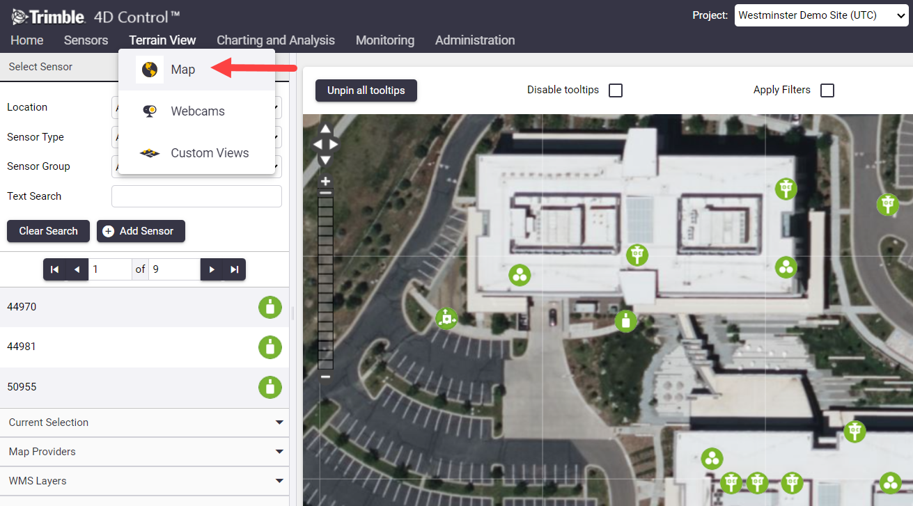
Click and drag on the map using the left mouse button to pan the map area in different directions. Use the mouse wheel to zoom in or out.
Use the panel at the left of the Map screen to:
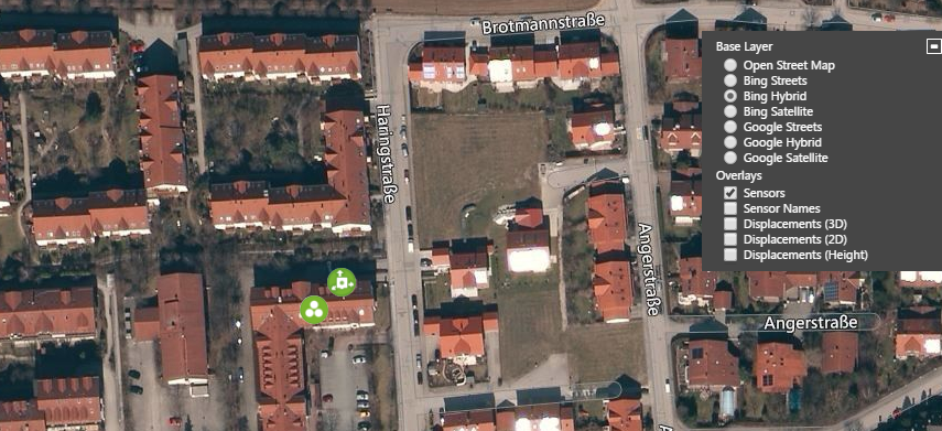
Use the settings at the top right of the map area to show and hide available base layers and sensor data overlays.
